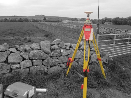
A Topographic or Hydrographic survey is an accurate 2D or 3D representation of the real world.
NB Group are one of the few land survey companies that provide the full range of land, hydrographic, aerial and civil engineering survey services. Using the latest GNSS, one-man total stations, laser scanning, photogrammetric systems, UAV (drone) and GPR (ground penetrating radar) we can provide a turnkey solution no matter how big or small your geospatial requirements.
Topographic surveys
The most common form of land survey is a topographic survey which collects 3D co-ordinate of the survey area. It is used for:-
- creating maps or plans,
- establishing land boundaries,
- cut and fill volume calculations for landfill and mining,
- landscaping,
- architectural or city planning,
- flood planning and climate change impact studies,
- engineering design,
- construction projects.
Building surveys
A building survey is like a topographic survey in that it collects 3D co-ordinate information of particular elements of a building. This data is then used to create floor, ceiling or roof plans, cross sections, elevations and detailed building façade drawings. Building surveys are integral for redevelopment of an existing building, structural analysis, heritage management and the creation of a BIM (Building Information Management) system.
Hydrographic surveys
Hydrographic survey is the science of measurement and description of features which affect maritime navigation, marine construction, dredging, offshore oil exploration/offshore oil drilling and related activities.
Civil Engineering surveys
Civil engineering surveys are used to ensure that construction matches the design. It includes setting out, deformation monitoring, alignment of modular sections, bridges or tunnels, precise level control and as-built records. Civil Engineering surveys are crucial to making sure a project is built correctly to the design drawings.
Aerial surveys
Using a UAV (Unmanned Aerial Vehicle) such as a drone, large areas can be surveyed in a relatively short period of time. This makes large area topographic surveys more efficient. It is also a much safer way to survey hard to reach or hazardous places like flare stacks, power lines, and telecommunications towers. Ariel surveys can be incorporated into traditional land surveys enabling a safer more cost-effective method of data capture for measurement or inspection.
For all the above surveys, NB Group deliver all the 2D drawings or full 3D CAD models that are required for your project. Our geographical surveyors have the skill and experience to determine the most cost-effective method of data capture and deliver to the highest standard.
To discover how we can add value, reduce costs, and simplify your data acquisition needs, contact your local NB Group survey team today.


